
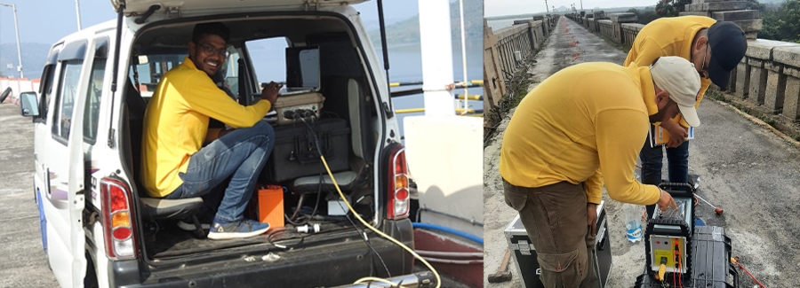
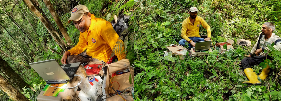
Passive Seismic Tomography
Back to ServicesPassive Seismic Tomography is a new revolutionary geophysical exploration technique which uses the natural seismicity (micro earthquakes) as seismic sources and a portable seismological network as receivers in order to build a detailed 3D seismic velocity and Poisson ratio model of the upper few km of the crust. This service provides both P and S wave velocity structure determinations in active tectonic areas using natural occurring micro earthquakes as seismic sources. Such tomographic imaging methods are particularly attractive since they provide not only structural information as conventional 3D reflection surveys but lithological as well, and is economic than a comparable reflection survey.
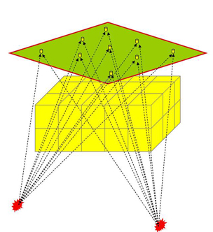
This technique is particularly useful in complex geological and mountainous areas as it can provide information on hidden structures. Both reconnaissance and detailed 3D surveys can be provided. Interpretations of velocity structure characteristics relative to oil/gas prospects are based on survey results integrated with other existing
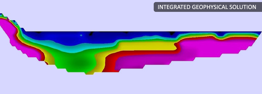
geologic and geophysical data. Furthermore, the assessment of the 3D variations of Poisson’s ratio can indicate the presence of gas and fluids in sedimentary formations. Generally, reconnaissance surveys in tectonically active areas require only a few months for good results, which is significantly less time than that required for conventional high resolution exploration surveys.
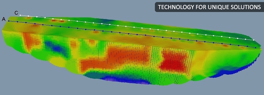
Knowledge of a subsurface fracture system is vital for an accurate evaluation of the potential and day-to-day production of a reservoir. Seismotech Geophysical Solutions Ltd. has developed a methodology to assess 3D fracture patterns, its density (number of cracks per unit volume) and outline zones of high permeability in areas where passive seismic networks are installed. This method is based on the shear wave splitting phenomenon by analyzing the recorded passive survey micro earthquake waveforms.
Seismotech Geophysical Solutions Ltd. have developed a method for mapping subsurface fracture densities using the time differences of split shear waves from micro earthquakes. These measurements are then inverted using back-projection tomography to locate the spatial distribution of crack density. Standard tomographic display methods are then used to create maps of crack density for characterization and development of the reservoir.
