
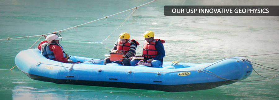
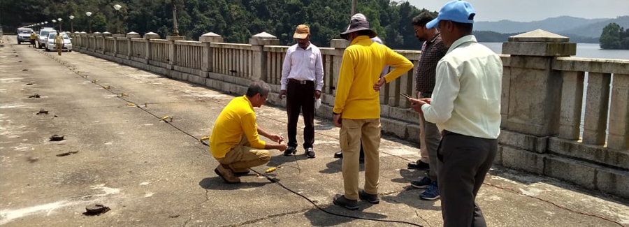
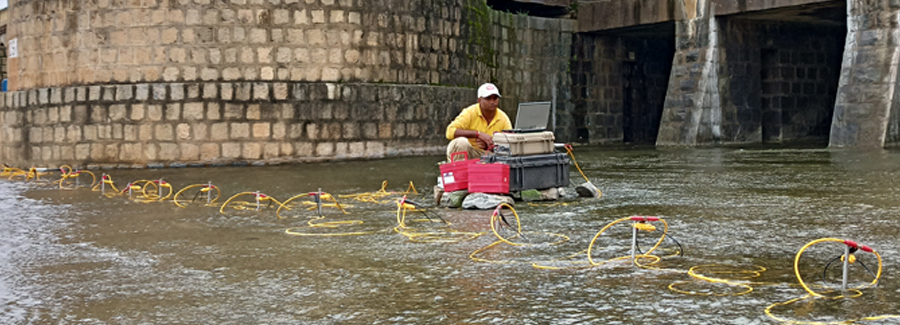
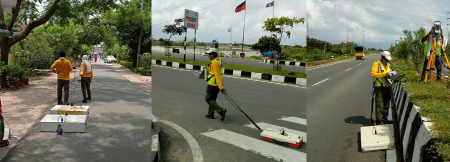
Utility Detection & Mapping
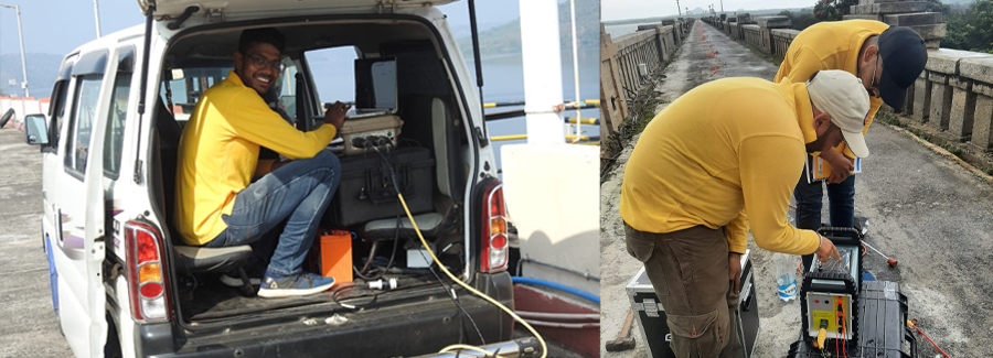
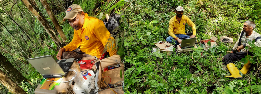
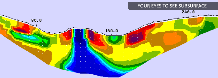
Back to ServicesPARSAN has the privilege of being the first company in India to introduce the concept of Subsurface Utility Engineering (SUE) in large scale projects. Company works extensively on utility mapping projects using techniques like Ground Penetrating Radar, Induction Locators, Magnetic & Electromagnetic methods etc.
Most of Indian cities have an extremely complex network of utilities, typically characteristic of a developing country. The records on existing utilities underground are either simply non-existent or inaccurate. Various construction and planning projects require accurate information on underground utilities. Accurate techniques for non-destructive detection of such utilities, therefore, are extremely important. Poor records, improper notification, and excavation errors all contribute to making subsurface utility breaks an often costly but preventable problem.
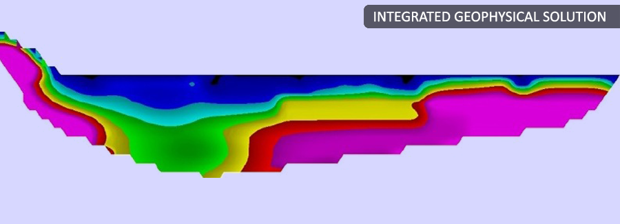
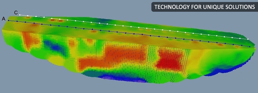
Subsurface Utility Engineering (SUE) is a discipline dedicated to the determination of the exact location of existing underground facilities. Use of SUE makes sure that utilities are accurately picked up and plotted on site plans. This in turn reduces costs, delays, and public inconvenience. In addition, by eliminating the risk of utility breakage, the project will be safer for both construction personnel and the general public, hence reducing liability concerns. Subsurface Utility Engineering or SUE is a new discipline that utilizes modern techniques to detect underground utilities in a total non-destructive manner. This process results in a digital map that will identify utilities within the project area.
Information obtained from other sources such as municipalities, is rarely accurate enough for project planning and execution. In addition, depth information is almost never available. Most of the information on past utilities has never been documented in systematic manner. SUE contractors on the other hand gather the primary data, and prepare an accurate and precise location map. This not only provides great insight to the subsurface conditions, but eliminates the unknown variables and contingencies designers face everyday.
PARSAN practices utility detection and mapping based on internationally accepted standard ASCE 38-02 Standard Guidelines for the collection and Depiction of Existing Subsurface Utility Data.
