
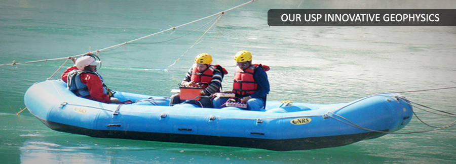
Geophysics - Water Resources
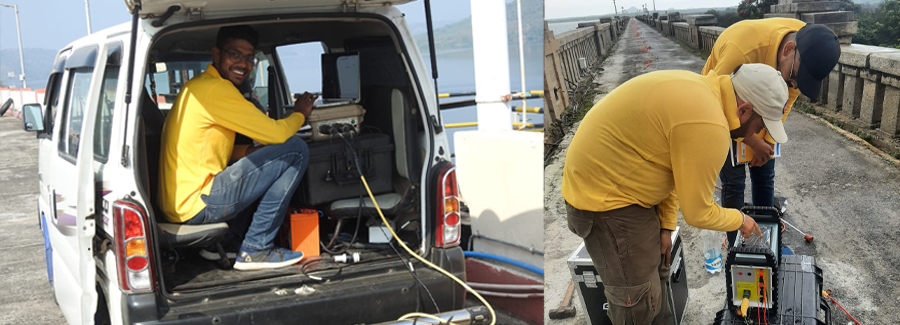
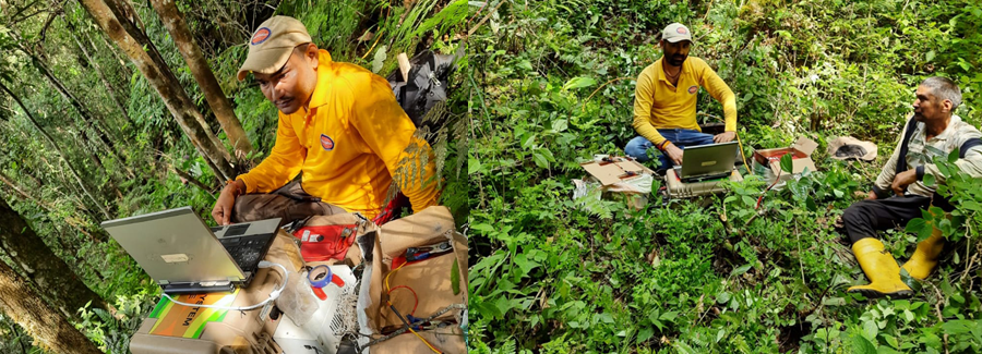
Back to ServicesAdvanced techniques exist for scientific exploration and management of water resources. PARSAN specializes in use of various advanced and tried techniques of geophysics for ground water exploration and three dimensional finite-difference modeling techniques for ground water management. The use of these technologies enables planners to study the ground water on a regional scale and plan optimum utilization of resources on a sustainable basis.
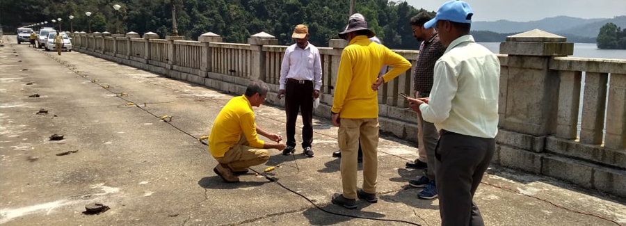
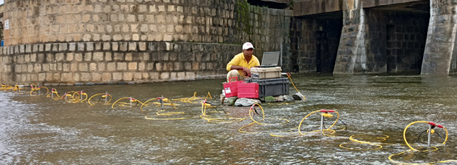
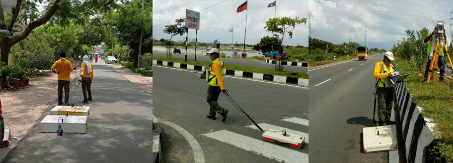
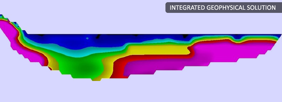
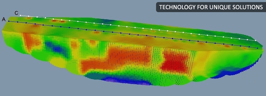
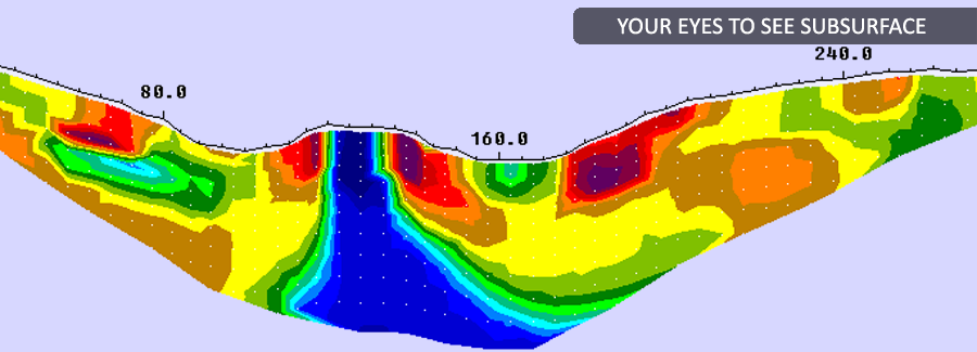
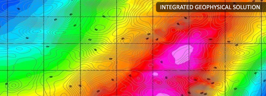
We work with various surface geophysics methods for delineation of various phenomena including; profiling of bedrock topography and structure, mapping of the water table, fracture systems, permeability of aquifers, salt water - fresh water boundaries, groundwater contamination, perched groundwater, confining layers, and migration pathways. The primary motivation for using geophysics as a tool in resource exploration and aquifer management is to target areas for detailed investigation and/or as follow up to conventional SI techniques, for example to interpolate between boreholes. Ground water modeling allows planner to work with ‘what-if’ situations to plan for years of drought, shrinkage of recharge areas etc.
