
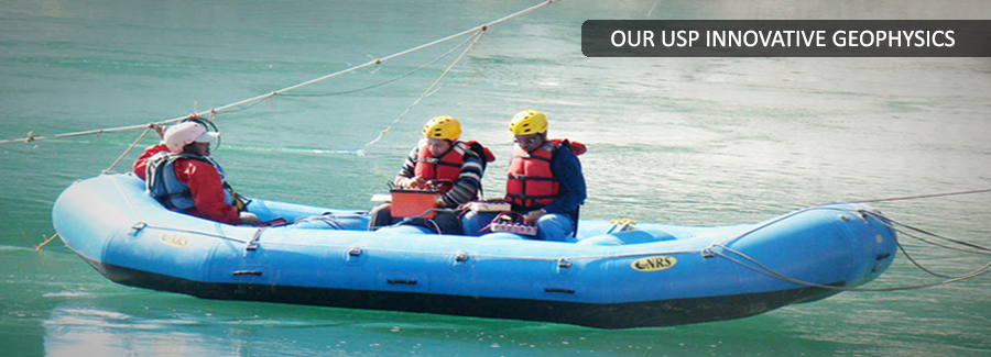
Mining Geophysics
Back to ServicesGeophysical methods have great potential to solve various mining related problems. Due to their non-destructive nature and quick application, using these methods results in huge savings in terms of time and money. Newer deposits are deeper and exploring those using conventional means of drilling is becoming increasing expensive and time consuming. Geophysical methods are also being routinely used as a reconnaissance tool to quickly determine potential of a new site before getting into lease agreements.
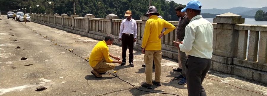
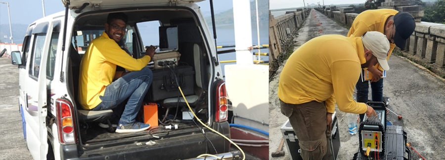
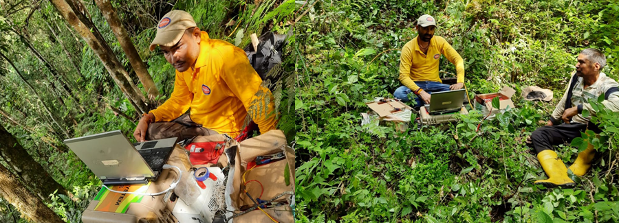
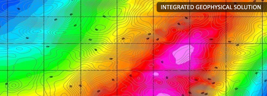
PARSAN offers an entire range of geophysical services to uniquely resolve the problem of mineral exploration. Company has at its disposal modern equipment and skilled manpower, making it possible to evaluate the resources in a much shorter time and at a much lesser cost.
Apart from typical application of mineral exploration, PARSAN also provides services to make operations of mines markedly safer; we are able, through geophysical studies of soil foundation, to provide the parameters that facilitate the installation of infrastructure (access roads, processing plants etc.) and allow blasting to be planned for maximum efficiency and output. Our experts also execute such various associated projects as geological interpretation, collection and synthesis of geological data, preparation of detailed maps, supervision of boring operations, geo-scientific compilation, and geo-statistical calculations.
Important aspects of slope stability and rippability assessment are also addressed through geophysical techniques.
PARSAN has a whole range of geophysical techniques for various mining related applications:
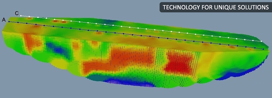
1. Seismic Refraction Survey & Shear Wave Surveys
- For Rippability Assessment
- Determination of stratigraphy
- Slope stability studies
2. Seismic Reflection Surveys
- For coal surveys
3. Gravity & Magnetic Surveys
- For Mineral Exploration
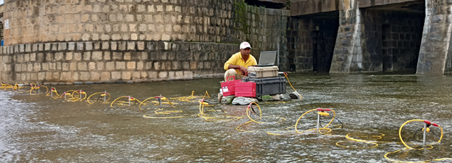
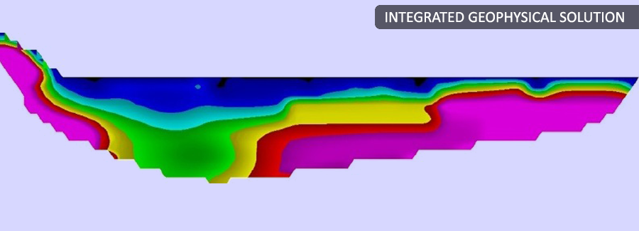
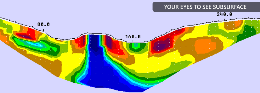
4. Electrical Imaging
- For ore body mapping
- For water table mapping
- For environmental studies
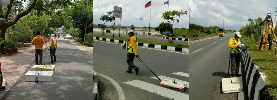
5. Ground Penetrating Radarg
- For environmental mapping
- For mapping shallow contacts
- For mapping ‘pockets’ in soil/ overburden
- For Rippability studies
.jpg)