
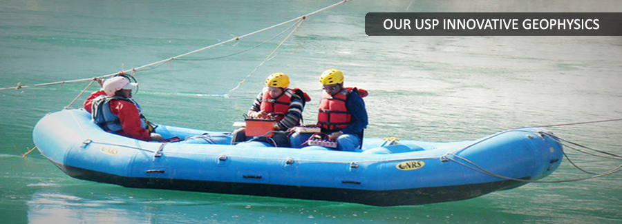
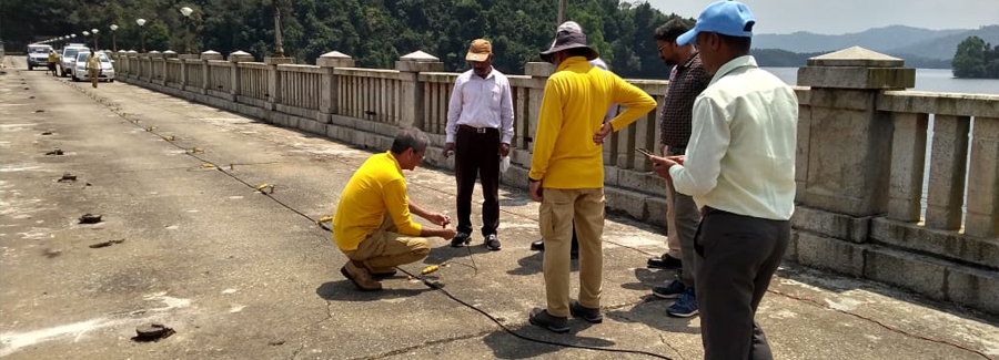
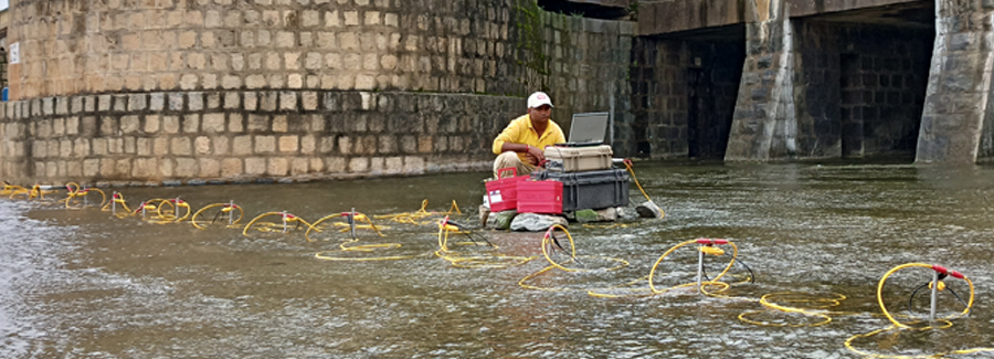
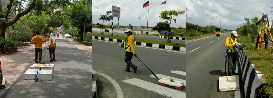
Ground Penetrating Radar
Back to TechniquesGround Penetrating Radar, also known as GPR, Georadar, Subsurface Interface Radar, Geo-probing Radar, is a totally non-destructive technique to produce a cross section profile of subsurface without any drilling, trenching or ground disturbances. Ground penetrating radar (GPR) profiles are used for evaluating the location and depth of buried objects and to investigate the presence and continuity of natural subsurface conditions and features.
Basic Principle
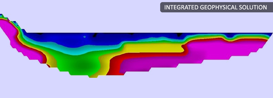
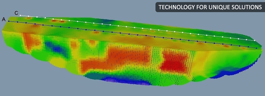
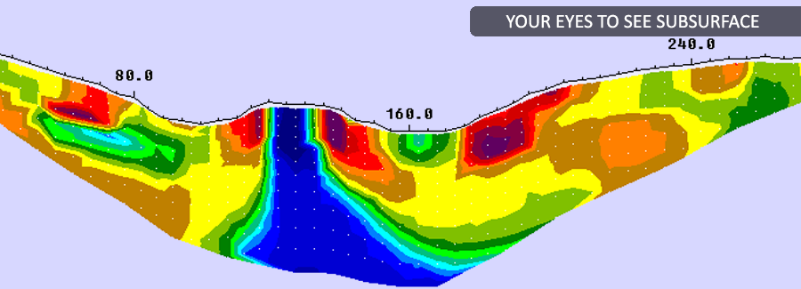
The GPR operates by transmitting electromagnetic impulses into the ground through transmitter antenna. The transmitted energy is reflected from various buried objects or distinct contacts between different earth materials, across which there is a contrast in dielectric constant. The antenna then receives the reflected waves and displays them in real time on screen. Data is saved in memory for future reference for processing and interpretation.
Ground penetrating radar waves can reach depths up to 60 meters in materials with low conductivity such as dry sand or granite. Clays, shale and other high conductivity materials may attenuate or absorb GPR signals greatly, decreasing the depth of penetration.
The depth of penetration in also determined by the GPR antenna used. Antennas with low frequency obtain reflections from deeper depths but have low resolution. These low frequency antennas are used for investigating the geology of a site, such as for locating sinkholes or fractures, and to locate large, deep buried objects.
Antennas with higher frequencies obtain reflections from shallow depths (0 to 10 meters) and have a high resolution. These high frequency antennas are used to investigate surface soils and to locate small or large shallow buried objects, pipes, cables and rebar in concrete.
GPR can detect objects of any material, metallic or non-metallic..
Application Areas
- Rapid ground coverage
- Geological and hydro-geological investigations including mapping of bedrock topography, water levels, solution features, glacial structures, soils and aggregates
- Engineering investigations to evaluate dams, sea walls, tunnels, pavements, roadbeds, railway embankments, piles, bridge decks, river scour, buildings and monuments
- Location and evaluation of buried structures including utilities, foundations, reinforcing bars, cavities, tombs, archaeological artifacts, and animal burrows
- Mapping location of buried engineering structures and underground storage tanks
- Subsurface mapping for cables, pipes and other buried structures prior to trench-less operations.
Advantages
- Rapid ground coverage
- High-resolution coverage of the survey area, detecting even small objects.
- On-site interpretation possible due to instant graphic display.
Disadvantages
- Data acquisition may be slow over difficult terrain.
- Energy may be reflected and recorded from above ground features like walls, canopies, etc. unless antennae are well shielded
.jpg)